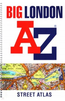
Big London A-Z Street Atlas
Big London A-Z Street Atlas
Купить с кэшбэком
до 5,00%
до 5,00%
Кэшбэк до 5,00%
Big London A-Z Street Atlas
Бренд: HarperCollins
Магазин: Лабиринт
Артикул: 898500
3 357,00 руб.
Купить с кэшбэком
до 5,00%
до 5,00%
Large scale A-Z street mapping of London. This A4 street atlas offers the perfect combination of coverage and clarity, the area covered ranges from Heathrow Airport all the way to Chingford at a scale of 4.25 inches to 1 mile, while a detailed map of Central London is at a larger scale of 8.5 inches to 1 mile.
The mapping features transport connections, places of interest, public buildings, postcode districts, one-way streets, Congestion and Low Emission Zones
This comprehensive street atlas of London also includes:
• An overview map of the Congestion Charging Zone
• West End Theatre and Cinema maps
• The London Rail & Tube Services Map
• London Underground map
A comprehensive index lists streets, selected flats, walkways and places of interest, place, area and junction names. Additional healthcare (hospitals, walk-in centres and hospices) and transport (National Rail, London Tramlink, Docklands Light Railway, London Underground and Overground stations, and River Bus pier) are indexed as well.
Отправьте эту ссылку другу. Если друг совершит покупку этого товара – вы получите за него кэшбэк.
Для получения кэшбэк-ссылки вам нужно Войти или Зарегистрироваться.
0,0
Просмотренные товары


Похожие товары магазина
-

Любить монстра. Краткая история Стокгольмского синдрома
1 032,00 руб. -

St Petersburg
4 013,00 руб. -

The Great Railway Bazaar. By Train Through Asia
3 668,00 руб. -

Among the Mountains. Travels Through Asia
2 840,00 руб. -
South West Coast Path South Devon Adventure Atlas
2 313,00 руб.
Другие товары магазина
-

Казнь без злого умысла. Том 2
300,00 руб. -

По бездорожью XX века. Семейные истории
2 688,00 руб. -

Раскраска Рисуем водой. Для малышей
376,00 руб. -

-

Товары бренда HarperCollins
-

Horton Hears a Who and Other Horton Stories
2 582,00 руб. -

The English Civil War. A People's History
3 873,00 руб. -

Oh, Baby, The Places You'll Go!
2 066,00 руб. -

Trent's Own Case
2 323,00 руб. -

I'm So Happy You're Here
2 840,00 руб.